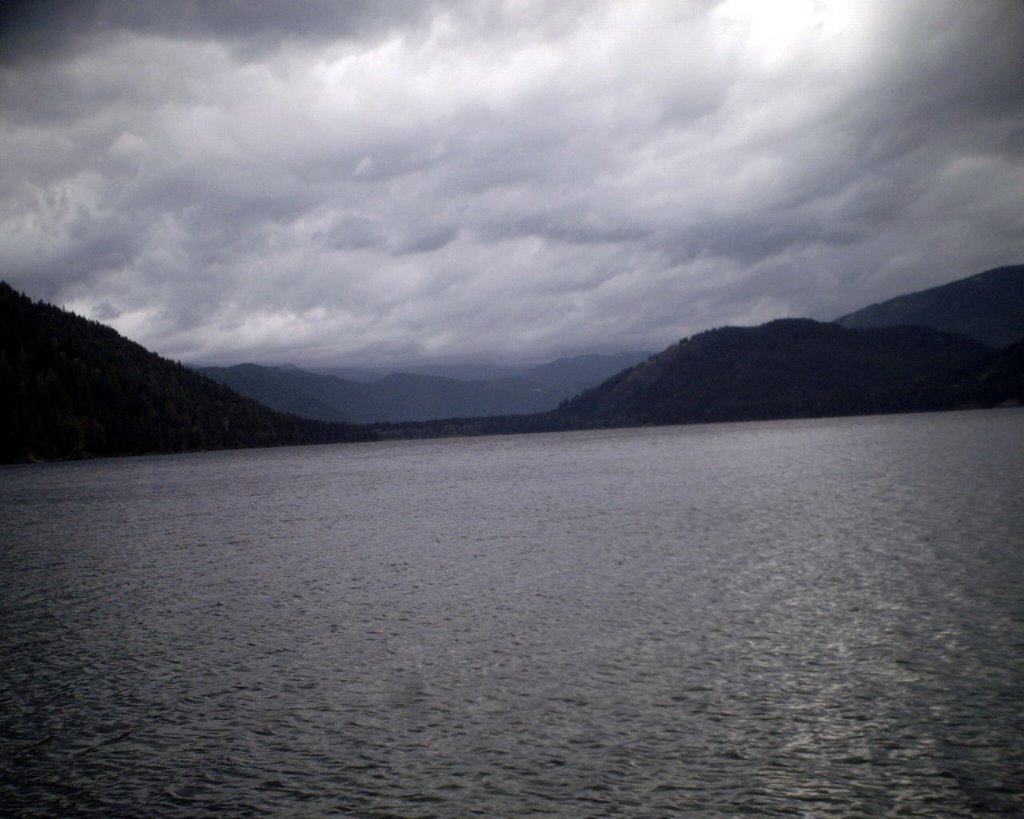
Thursday, August 31, 2006

Upper Priest Lake

The best adjective I can use for our outing yesterday is...wet. The forecast was for rain and thunderstorms in the higher elevations so Walter and I decided to stay down a bit low for a change. I usually have at least one trip to Upper Priest Lake a year, either via kayak/canoe or backpack and I don't think that is going to happen this summer (I need a dog sitter!), so we just went up for the day.

Now, a curious thing happened while I was there. I am not afraid of bears. I have respect for them, and when I am camping or backpacking I do the right things like keep my camp clean, cook away from my tent, hang my food when not in use or 
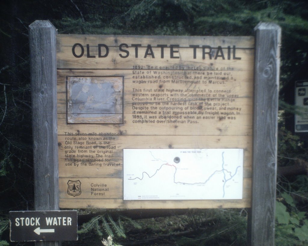
put it in bear boxes when not in use, that sort of thing, but I don't ever really feel uneasy or afraid when I enter the woods in bear country. Yesterday was sort of weird though. Walter and I started walking and within about ten minutes I started to feel really uneasy and was thinking of bears. When I got to the trailhead there were several signs up and a photocopy of a map. One sign was a warning to boaters that fire aircraft were using the lake to fill their buckets for a nearby fire. I did not read the one in small print because I figured it was the same thing. At any rate, as I got farther and farther down the trail I got more and more apprehensive so I started talking to Walter in a pretty loud voice, pulled 
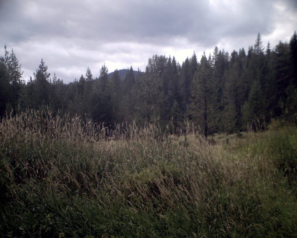
out my bear bells and stuck them on my shoes, and made sure before I went around a turn in the trail that I made a lot of noise.

We got up to the upper lake to the Plowboy campground and just kind of goofed around for a bit, had a snack and that sort of thing, but I started feeling more apprehensive as time went on. At the campground (which you can only get to by boat or on foot), I noticed those pieces of paper tacked to the tables and the outhouse, so I stopped to read the one in small print. I had also noticed that the Forest Circus had installed another bear box since last year. The sign said that it was now illegal in the mapped areas to store food anywhere other than by hanging it, putting it in your car, or in a bear box because of increased bear activity at both the lower and upper lakes. Hummmm, I think.

Now, I submit for consideration, my bear story from Glacier Park. Several years ago when my sister and I went (the trip where my sister sprayed me with pepper spray...thanks Ellen) I took my kayak along with me. One afternoon I took a paddle across Lake McDonald. I had gone half way up the lake and decided to get out on the beach in a little cove and look around and stretch my legs. I was sitting on a log on the beach just looking at the scenery and enjoying the quiet when this sudden fear and anxiety overtook me. I mean, it was powerful and this little voice in my head said, "Get back in the boat and get the hell out of here." It was not a conscious decision to get into the boat, it was as if my mind just took over and I just got up and did it. I was in the boat and paddling backwards away from the shore when I looked over my shoulder in the water and saw something sticking up. It was about ten feet from where I was. I thought, oh look at the beaver (but still my heart was racing and adrenaline was flooding through me). Then I realized, that was no beaver. It was the head of bear that was swimming in the water, and it was headed right for the blind cove where 
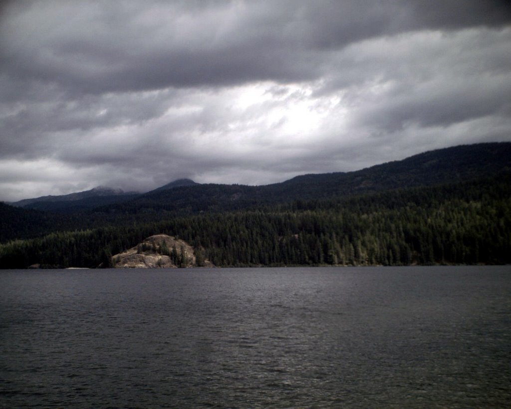
I had been sitting. I could tell that it had no clue that I was there even though we were so close. It all happened in a matter of seconds. If I had waited just thirty seconds more to get in the kayak and push off shore, the bear and I would have met each other on the beach. It was heading right to where I was sitting...which was down wind from where it was coming. Bears have pretty crappy eyesight so I don't think it could see or smell me. Had I not moved when I did, we would have scared the crap out of each other and who knows what would have happened.

So why did I react so strongly to a dangerous situation that was going to happen and not be aware of it consciously? Some would say it was God or a gardian angle. I think it is more that there is some kind of primal awareness in our brains that can sense stuff. I think some part of my brain sensed the bear, like I smelled something unknowingly and it triggered my fight or flight response on a subconscious level.

I submit even more for consideration. The fire that the fire crews were working on was Plowboy Mountain (I found that out after I got back to the trailhead and talked to a Ranger Rick guy). The trail I was on goes along the base of Plowboy Mountain. This time of year, the bears are usually up on the upper slopes of the mountains eating berries. Now if there is a fire on the upper slopes, they are going to get away from it, and like us they want to take the easiest route. Bears use trails too. Remember, there has been increased bear activity in the area. There are either more bears in the area or they are just more used to people. Now I am beginning to wonder, as I was walking on the trail, did I subconsciously pick up the scent of bear in the area because they were coming down to escape the fire and had been using the trail I was on? It was a strong feeling, one that almost made me turn around and go back to the trailhead. I was not just concerned. When it first hit me, I truly had an adrenaline rush, just as I had on that beach at Glacier Park and it was about something that never really sticks in my mind too much. I don't "worry" about bears. I do the things you are supposed to do in bear country, but I do not fixate on it. I am comfortable in the woods. I have been camping since the age of six months. I have over 30 years experience hiking and backpacking in the wilderness. I can make a fire without matches, knock rocks together to make cutting implements, and find shelter in a pinch. I am not fearful at all. But I was suddenly nervous. Walter was acting a bit anxious as well, though he may have been picking up on my anxiety. Curious.

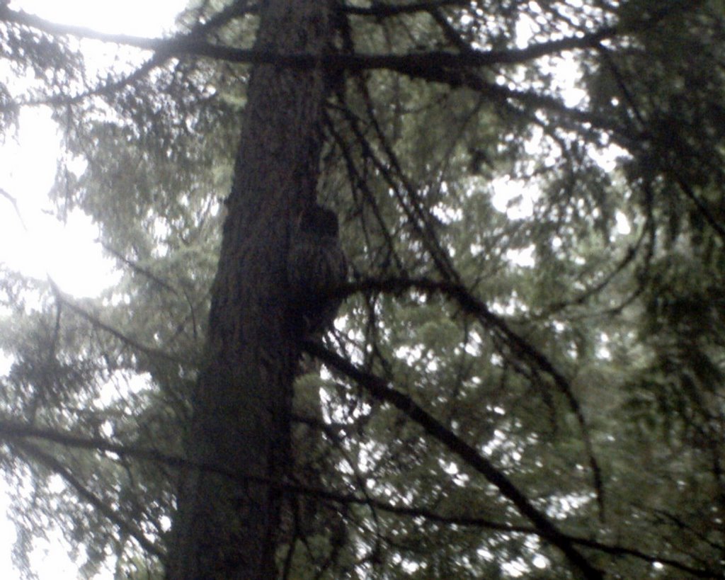
Aside from the fear/anxiety/bear thing and the rain and cold, it was a pretty good hike and a good day. I had planned to hike an extra five miles up to the northern end of the lake but my nervousness and the rain caused me to change my plans. After we got back to the trailhead, we walked down the 1/4 mile trail to the Thoroughfare, the river that links the upper and lower lakes. On the way back up, I saw something fly up from the trail and into a tree. It was pretty big. When I got up there, I saw an owl sitting on a branch of a tree. Now that was cool.

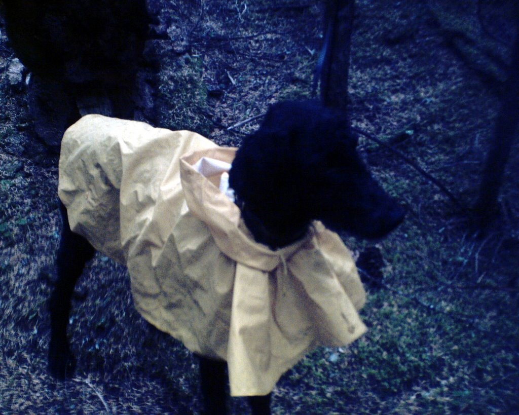
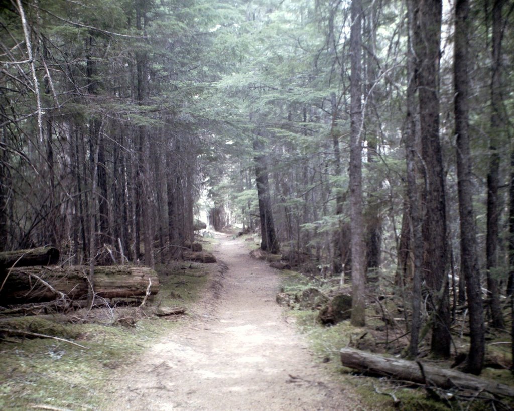
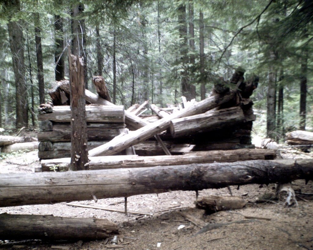
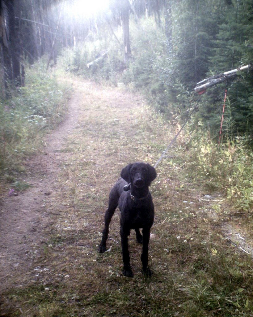
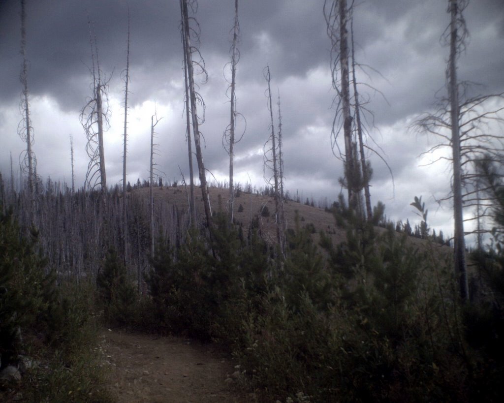
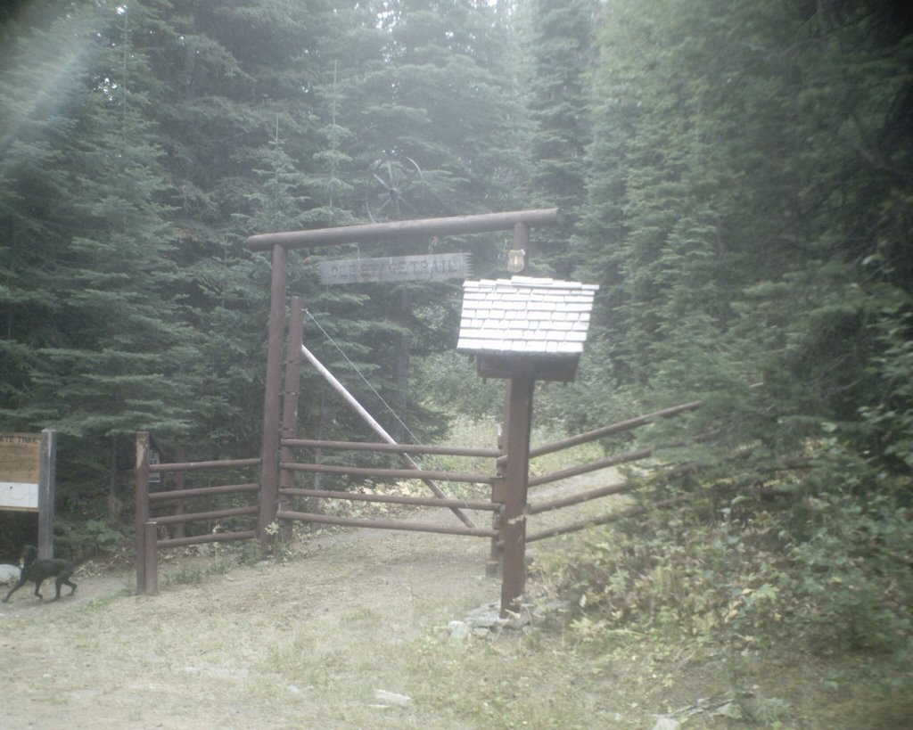
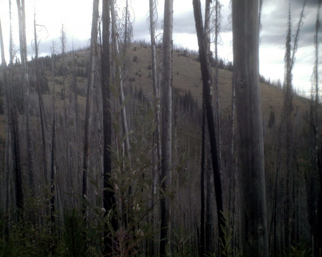
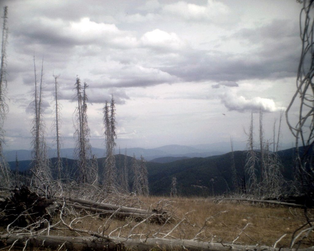
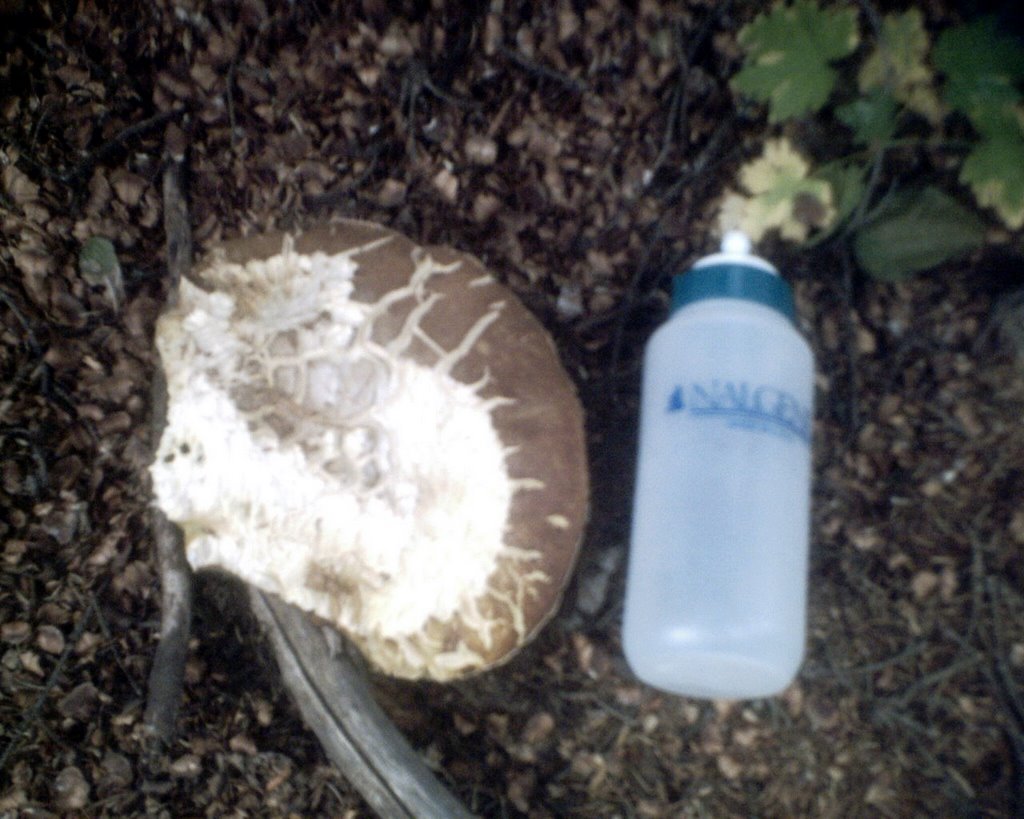
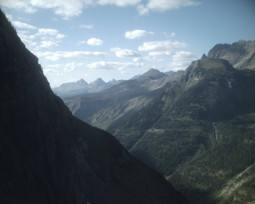
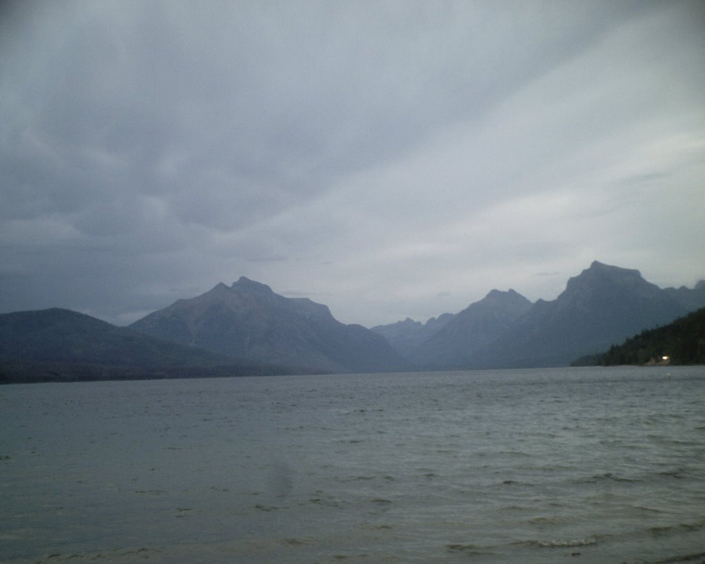
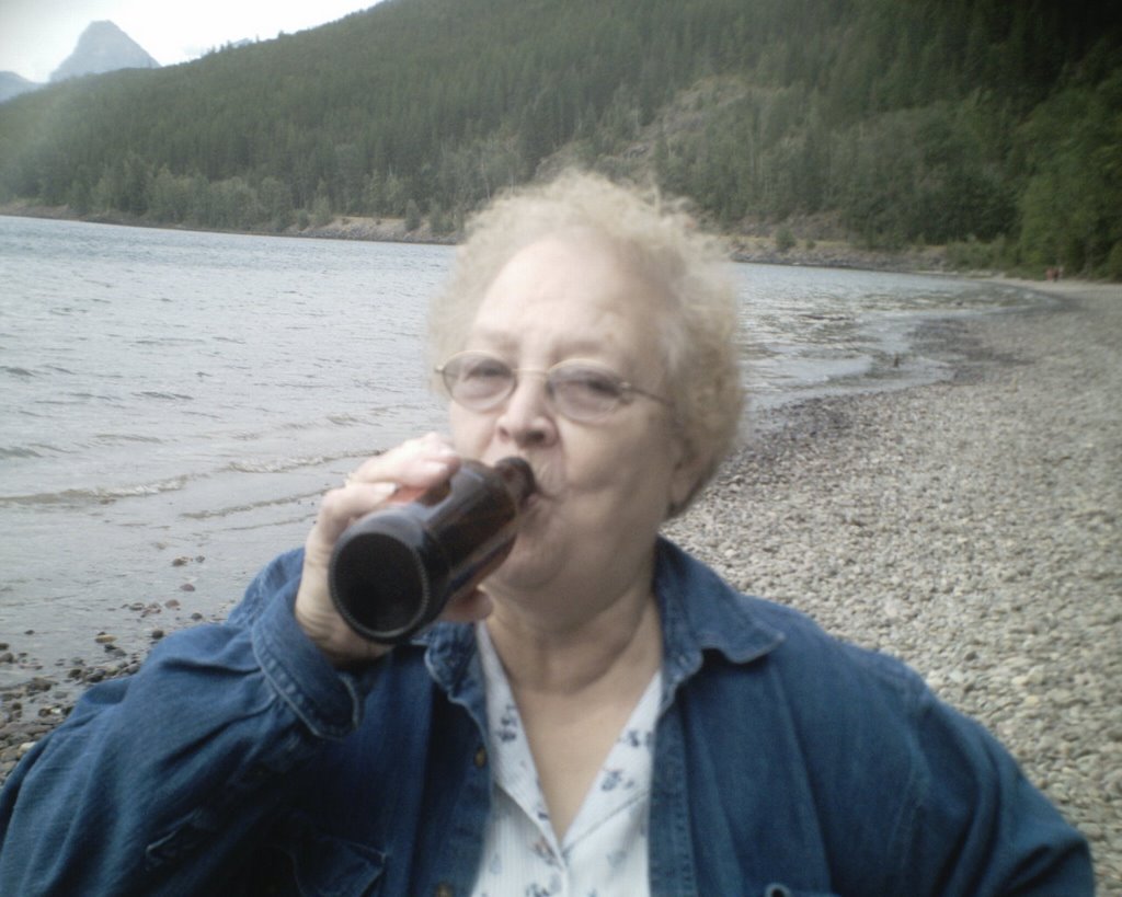
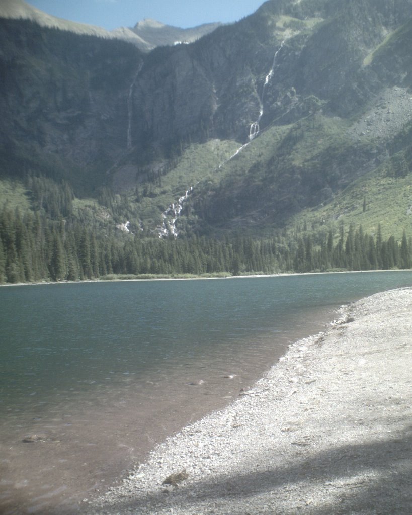
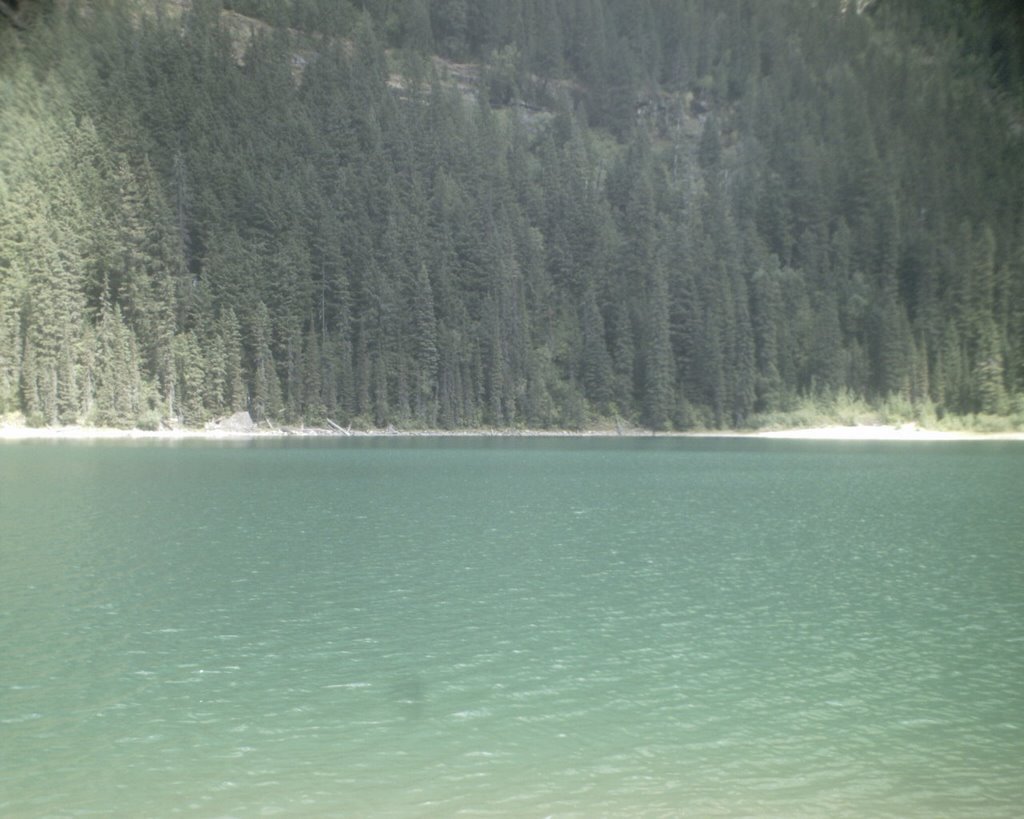
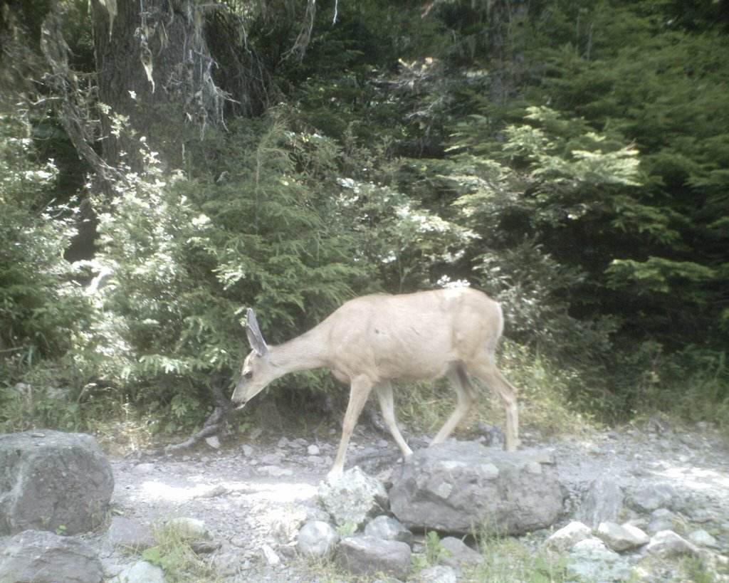
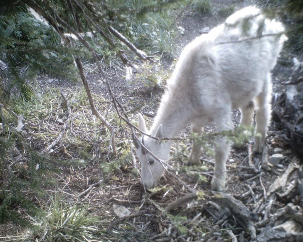
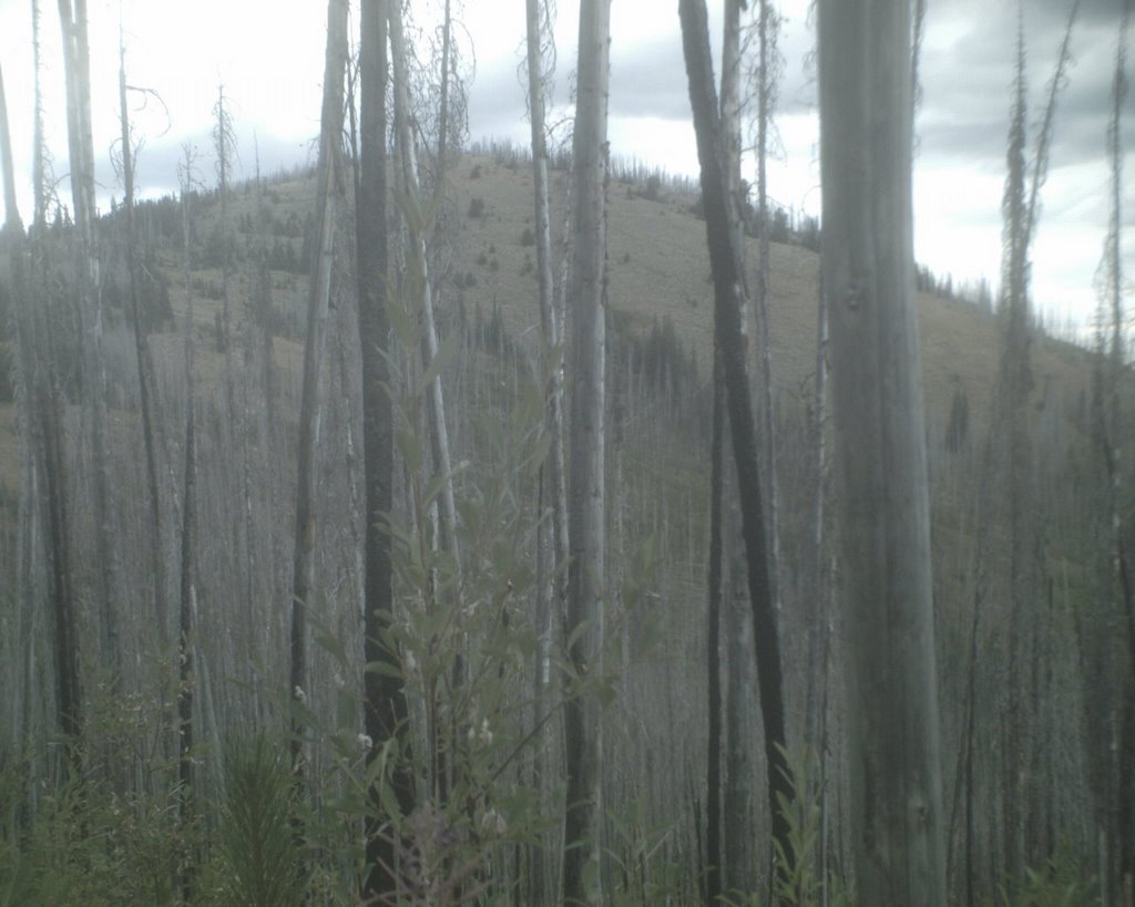
The pictures from top to bottom are: Walter in his raincoat (yes, Walter has a raincoat. He also has a down vest and a snow suit); the start of the Navigation trail; a lovely meadow along the trail; an old pioneer cabin; from Plowboy Campground looking north to the top of the upper lake; looking across the lake...normally on a clear day you can see mountains behind the lake; and the owl in a tree (can you see it?).

Thursday, August 24, 2006

Midnight Mountain

Today Walter and I did our first 50 x 50 of the summer. Plagued with time and vehicle issues, we have not ventured far from home, but I just said "screw it" and took off today anyway.

Midnight Mountain is located in the Kettle Range of Northeast Washington State. Eighteen of the fifty highest mountains in Eastern Washington are in the Kettle Range near Sherman Pass, the highest road pass in the state (yeah, even higher than the North Cascades Highway). Exactly a year ago today I did my first 50x50 on Sherman Peak. That was a cool day though the climb down was a bit dodgy.


Directions from Spokane: Take 395 north through Colville and Kettle Falls and over the Columbia River bridge. Turn left on Highway 20 just past the bridge at what the locals call Barney's Corner. Head up 20 for a bit over 18 miles to Albion Hill Road. Turn right onto the gravel road and follow it to the Old Stage Road trailhead 7.3 miles from the turn off 20. Though the road is in pretty good shape, I do not recommend driving a Ford Festiva on it (the "new" Blazer is undergoing some minor surgery to the front end). I had to drive pretty darn slow and it took me 45 minutes to drive the 7.3 miles. I only bottomed out once though.

The trailhead is back off the main road a bit in a large parking area with tie-ups for livestock and a pit toilet. There are some picnic tables and fire rings. I did not see any signs that said you could not camp there overnight. The trailhead was constructed by the Backcountry Horsemen group. The first part of the trail follows the first highway in Washington that crossed from the upper Columbia River to the coast. Construction began in 1892, but the area of this part of the road was abandoned in 1898 in favor of a better location: Sherman Pass. The only remaining part of the trail is the seven miles that starts at this trailhead. It appears that a lot of folks with horses and mules use the trail, both in evidence from the condition of the trail and my perusing of the sign in sheets at the trailhead. The trail is actually in pretty good shape except for the upper portion as it nears the Kettle Crest trail.

At 6,660 feet, Midnight mountain is the 9th highest in the Kettle Range. From the trailhead to the top there is an elevation gain of 1,160 feet. My guide for these hikes comes from James Johnson's Fifty Hikes for Eastern Washington's Highest Mountains published in 2003 by Frank Amato Publications, Portland. It is this book that inspired me to do a 50x50 of my own. My sister had a goal of doing 50 new things by the time that she turned 50 (which was last November). They were things like, ride a motor cycle and white water rafting. I was mulling the idea over when I saw the book at Aunties and figured it was just the thing for me. I was only 40 at the time and it did not seem like such a big stretch to do 50 mountains in 9 years. I did not start until a year ago today and only got two done last year. This is my first this year and it is nearing the end of August. I am starting to think that I better get my ass in gear real quick.

Though Eastern Washington is not nearly as dramatic as the North Cascades or the Rockies, it is still beautiful. In his book Johnson says it quite poetically: "Though humans have criss-crossed the nation wtih roads and ventured deep into forests to build towns and homes, there are still wild places close-by where human activity and the taming of nature are absent, and those inclined to seek the magical allure of the natural world still have a place to go"(66). In this part of the country, the trails are ignored by the masses because they are not as "spectacular" as the mountains to the west and east. Solitude can indeed be found.

The trail to Midnight is mostly open because it travels through a burn area that happened in 1998. Luckily today was a pretty cloudy day and actually a bit on the cool side. Johnson says that the distance to the top and back is 5 miles but my GPS said 6. Almost two miles from the trailhead is the junction with the Kettle Crest National Recreation Trail which stretches some 30 miles. This picture and the second one from the top (below the beautiful poodle) are of Midnight Mountain. From the distance that the photo was taken, it looks like the side of the mountain is nice and "fluffy." In fact, the terrain is rocky and covered with sage brush, something I really did not expect to see. It was also covered with cows.

There is no actual trail to the top of the mountain and no just straight shot to the top because of the burned areas. I followed an intermittent cow path up the south side of the mountain. I was pretty amazed to find some salt blocks. Walter thought they were delicious. Now, let me say something about cows. I, having been chased by many in my life, have a healthy respect for them, especially nursing mothers. Though they are domesticated animals, that does not mean they are not wild in nature. That means they have the capacity to get used to humans and they can be contained and conditioned to come to where the food is. The most dramatic cow chase in my life happened in a field in England where I had to run for my life and quickly jump into a tree. Luckily I was on my way to the pub and not on my way home or I would not have had the coordination to even run away (hey, I was young). That being said, Walter and I did a bit of extra walking to avoid the cows, but unfortunately they were all over the top of the mountain. We were able to go up to the highest point on the mountain but did not stay there for more than a few seconds. We all had a big nervous fest going on so we headed down to a cow free spot to take our photos. It was great fun. Usually we take along lunch and eat it at our destination, but I was not quite hungry yet so we waited.

I realized that another mountain on the 50x50 list is right next to Midnight Mountain and the best way to get to it is to go straight over Midnight along the ridge line. This involves some off trail walking. Though it would have been easy to do, and boy did I just want to do it, I had to stop myself for several reasons. 1) my topo map fell out of my pocket somewhere along the trail. Though the way was clear and it looked really easy, I just have to follow some of the rules and not hike off-trail without a map. I had my GPS unit with me, but I prefer to rely on old human skill. For example, the satellite connection was lost as I was hiking the cow path. 2) I had given my safety contact explicit information as to where I could be found and it did not include hiking off-trail to a different mountain (think Aaron Ralston). The last thing I want is to be somewhere I am not supposed to be and have something go wrong. Sure, it would have been an easy jaunt, but again, think Aaron Ralson. He was an experienced mountaineer going for a stroll in the desert and the guy ended up having to chew off his arm. Enough said.

The walk back down to the trailhead was nice and easy. I saw the biggest shroom I have ever seen in my life. It was actually only half the shroom but I had to stop and take a picture of it. After we got back to the trailhead, we sat at a picnic table and had our lunch. I just looked in a book of horse packing trails in Washington and it mentions the Old Stage Road trailhead. Camping is allowed for stock and non-stock folks. After lunch (which was at about 3pm) we packed up and headed home. Though the Festiva is not really comfortable to drive, I did go over 200 miles on five gallons of gas. Pretty darn good.

My next nights off are next Tuesday and Wednesday. I am not sure what we are going to do. The weather reports all say it is going to be craptacular. We shall see.

Wednesday, August 16, 2006

Three Chicks in the Sticks


Wow, I have just had a most amazing and wonderful week. Last Tuesday (Aug. 8) my mom and sister flew out here from Illinois to spend a week with me. My sister and I have gone on trips to Glacier Park together several times. It is a most amazing and beautiful place. Last summer while we were there we were sitting on the shores of Lake McDonald drinking our traditional bottle of wine and we decided that the following year we had to drag Mama along with us. It was really important for both of us to do a trip like this with her before time got away from all of us (Mama is 71 and still going strong...she slept of the ground for gosh sakes!).


On Thursday (Aug. 10) we packed every spare spot in the rental car and headed east. We took Highway 2 all the way to Kalispel. That is the most scenic way to go in my opinion. Highway 200 is pretty cool too but less direct. It was getting late in the day when we got to Kalispel so we headed to the campground to get a spot. It is only a five hour drive from my house to the park. Ellen and I always camp at Apgar on the west side because it is rarely full and Ellen can walk up to the village for espresso (a most important thing). The campground is not on Lake McDonald but just across the road from it. While Ellen and Mama went back into town to get groceries, I set up the camp and then sat on my butt for a bit and read a book. After Mom and Ellen got back we went down to the beach. This time we did not have wine but beer. The wind was strong and the clouds were dark but we hung out down there for about an hour. My Mama even had a beer. That night there was rain and a thunderstorm that was pretty cool. We stayed nice and warm and dry though.

The next morning was pretty wet so we headed up to Polebridge for some breakfast at the bakery. It is about a 25 mile drive on part gravel roads north to the little village of Polebridge. The place is basically a hippie sort of town. It is off the grid so there is no electricity except for a generator that is used in the Mercantile/Bakery. All the bread and wonderful food is cooked in a wood fired oven and it is all unbelievably delicious. I had some sort of pesto/goat cheese/sun dried tomato sort of thing that just about knocked my socks off.

After the day cleared off some, we headed for Medicine Lake over on the East side of the park. One really great thing about traveling with my mom and sister is that we have no agenda. We just figure out what we want to do and where we want to go moment by moment. At Medicine Lake, we took a boat ride across the lake and then a 2 mile hike up to Twin Falls. We had one of those Ranger Rick guys with us so he stopped and showed us a bunch of stuff. Mama got to eat some Huckleberries right off the bush which thrilled her. Mom's new bionic knee was working great walking along that rocky and root covered path. Ellen and I could hardly keep up with her.

The next day (Saturday) was really wet and rainy so we decided to go into White Fish and dink around. My mom is one of those Quiltaholic chicks so she had to hit the local quilt shop and my sister the artist had to hit the galleries. I was most content in the Mackenzie River Pizza place. They have great pizza and the salads are really great with grapenuts and pears in them. The beer ain't bad either. On the way back, we stopped at the KOA so Mama could take a shower. Five bucks for a shower!!!!! I passed on that one and just kept giving myself sponge baths in the campground bathroom. Later that night after it got dark, we went down to the beach and boat dock along the lake to see the stars. The moon was not up yet and the sky was clear except towards the Continental Divide. We sat on a bench with our heads up watching the shooting stars. It was pretty darn cool.

Sunday was the only day that it did not rain. We started out with a big Kathy cooked breakfast of cholesterol and fat. Yummy. I had been wanting to get a hike in but my mom and sister were concerned about my choices (alone in bear country) so I opted for a hike to Avalanche Lake. It is the most popular trail in the park. From my perspective of hiking the trails of the Inland Northwest, seeing 10 people on a trail in the day seems like a lot so I was thinking maybe I would run into just a few more folks than that. Wrong. A Sunday afternoon in August at Glacier Park is pretty busy and I probably saw at least 60 people on the trail. When I got to the lake, there were probably 60 more people sitting around at the bottom of the lake. That was ok though because it was just too beautiful for words.

The trail leaves from the Trail of the Cedars boardwalk which is really dark, damp, and beautiful and climbs above the Avalanche Gorge which has been scoured out by water and left with amazing bowls and chutes cut through the rock. The trail climbs 2.1 miles to the lake and mouth of Avalanche creek. This is where most of the folks were. I continued on the trail up to the top of the lake where there were very few people. It took me about 50 minutes to do the 2.9 miles to the top of the lake. I just sat there on a log and spaced out on the beauty for about an hour.

The lake is in a cirque at the base of Mt. Brown, Bearhat Mountain and the Little Matterhorn. Words and pictures cannot do justice to the beauty of this place. Three major streams come off the mountains with waterfalls that rush into the lake. The water is turquois and cold (I stuck my head in it...and had I been the only person up there I would have stripped down and gone for a very chilly naked swim). It was easy to just sit there and lose track of time. As I was getting everything back into my backpack, a deer came through the woods and walked right past me, within about 8 feet from where I was standing. She did not care if I was there or that I took her picture.

The trip back down the trail took about the same amount of time. The entire route is tree covered and made me think of a forest from The Lord of the Rings. I kept expecting Tree Beard to show up at any moment. There are ancient cedars, amazing rock formations, moss, dark and dank nooks and crannies, and amazing views across the valley through the trees. It reminded me of my trips backpacking in Colorado. The high mountain environments, lakes nestled at the base of towering mountains, the air ripe with the smell of pine. There is nothing that makes me feel more alive than being in the mountains, smelling the air, feeling my feet on the earth, and moving my own body across this living landscape. It is what pushes me, sustains me, makes me feel alive and a part of the pulse of the universe. Whether it is in the Rockies or Dishman Hills, it is what grounds me and makes me feel that life is worth living, regardless of the losses and the pain that are a part of being human.

I got back to the parking lot at the same instant that my mom and sister were pulling in. It was perfect timing. They spent the past few hours dicking around McDonald Lodge having lunch and they brought me a sandwich and chips. They have always been my care takers; my two mothers. My sister is 9 years older than me and both have looked out for me like mother hens. I have been blessed to have been born with them in my life (oh, I feel a bit weepy with this one).

After they picked me up we headed up to Logan Pass. It is a most amazing place with mountain peaks all around. Ellen and I walked on a small trail just west of the pass and saw a mountain goat chomping grass just off the trail. Mama loves the mountain goats so I had to go fetch her and make her come and see. While we were just watching the goat, some other people came and scared it and it ran up onto the trail right in front of us. The three of us have a healthy respect for critters. Though they may be cute and charismatic, they are still wild animals (and I have a bear story from a previous trip to pass on...see the next post). I had never been that close to a mountain goat before. It was pretty damn cool.

The entire trip was just too cool for words. Though I had to leave Walter at home and it just about drove me nuts, I was with my two favorite people in the world in a place that just took my breath away at every turn. It is a trip I will cherish and remember forever.
free counter
free counter