...and more Dishman Hills

Here are some more photos of a little trip to Dishman Hills I took the other day. I went into some of the less traveled areas and was disapointed to see that people have been camping there. There used to be some carpet and a van seat at the rock shelter and this is a spot where I often find discarded underwear. Why? It is also an area used by rock climbers and I have been there before when they have been climbing, though I believe it is illegal. Oh well. I have noticed more camping spots since the city outlawed camping on city property. I found three fire pits the other day. I hope the place never burns down. Even though I think
 that transients are moving into parts of the park, I still think it is a pretty safe place to go, especially if you stick to the main trails. All of the camping spots I have found are really out of the way and off the main network. I think I will probably start sticking more to the main trails from now on, even though I feel pretty safe with my bad attitude and my killer poodles.
The last time I was in San Francisco, I got off the main trail network at Golden Gate Park to cut across a small ravine to another trail (I was again, following a faint trail through the shrubs). I lost my footing and fell down the hill through the bushes, right into a transient camp. I scared
 the shit out of the poor drunk guy who was asleep in his sleeping bag.
Lily is loving hiking but I have to figure out a different leash system. Next time, I am going to try working with both dogs on a coupler so I can just use one leash. They try to walk next to each other anyway.
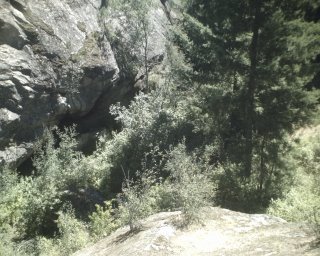
The top photo is Walter and Lily drinking out of a seep that comes through the rock of the cliff. It is really nice and cool water. The second is of the cliff just north of the rock shelter. The third photo was taken on a rock looking down on Deep Ravine and towards the rock shelter. The
 shelter is large enough to stand in at the opening and goes back about five feet. It is pretty cool. The next photo is of the last bit of climb on a granite outcropping up to the top of Eagle Peak where you can get a 360 view of the surrounding area.
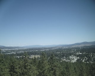
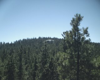
The first 360 is the view above the Spokane Valley looking towards Idaho. Next is looking towards the Painted Hills area. The next pictures are towards downtown Spokane, north towards Mt. Spokane, and looking up the hills towards Tower Mountain. The house that is in the picture is absolutely huge. This entire area would be covered with houses like this had some really smart folks not bought up this land to keep it from development. The final shot is looking down into Enchanted Ravine, a cool mossy spot between two cliffs.


3 Comments:
You still have to take me there even if we do the Centennial Trail!
Keep up the good work how to make a laminate bookcase look better Herbal alternatives to prozac and diazepam metal shelves refubushed paintball guns payday loans in huntington wv Kia pet order lipitor
Excellent, love it! Celebrex crohns disease xanax xr pharmacology pharmacokinetics studies metabolism kansas high school girls 1a substate basketball what are the five positions of basketball Infrared saunas and high blood pressure czujnik abs renault laguna
Post a Comment
Subscribe to Post Comments [Atom]
<< Home