Wapaloosie Mountain
Yesterday Walter and I headed up to the Sherman Pass area to do another 50x50 and we took our friend Georgie along with us. Each time we saw each other last year we said we had to go skiing or hiking or something together and now we finally have.
Wapaloosie is along the Kettle Crest National Recreation Trail and is just south and two mountains down from Midnight Mountain (see previous post). The trail has it's own trailhead and there is camping available there, though no water save for a creek. The trail starts out in the woods and heads uphill with numerous switchbacks. Some parts of the trail are rather steep and rocky. After a bit, the trail comes out onto the open side of Wapaloosie with views of the Sherman Pass areas and nearby mountains. Yesterday it was cold and rainy and the open areas were very windy. The trail hits a saddle between Wapaloosie and another small mountain and connects with the Kettle Crest Trail. There is no trail to the top of Wapaloosie but it
 takes just about ten minutes to get there, winding around the sparse trees and sage brush.
At the top we found a big rock cairn and inside was a plastic bottle that had paper and pencils in it. The first entry was from Jim Johnson who wrote the 50 hikes book! That was way cool. We sat and read the other entries and then left our own, including the Travels with Walter address. The view was mostly open which also meant it was windy. We pulled on every layer of clothing we had and ate some lunch. Georgie had the most delicious stale muffins I have ever tasted. We found an old canvas tent on top that was falling to pieces. There was a blue plastic tarp
 under it and Georgie, a pack rat after my own heart, was trying to get it out so she could take it home. Unfortunately it was all ripped up. We decided we did not have enough room or strength to pack it all out. The top of the mountain would be a lovely place to camp and I am going to keep it in mind for the future.
Our other goal for the day besides Wapaloosie was Scar Mountain which is just to the north. After lunch we headed out on the KCT down the side of Wapaloosie. It should be noted by anyone wanting to do this hike that there has been a revision to the KCT that does not show up on the USGS maps. The trail originally headed straight north but now has long switchbacks down to the saddle between Wapaloosie and Scar Mountain. We hit the first switchbacks which headed south and thought we had somehow missed the trail so we went back up the hill and found the old trail. We thought maybe it would be cool to just take the old trail which has not been maintained so we
 headed that way. After we got to a place where we could see Scar Mountain we realized that we were not going to make it to the top and back to the trailhead before it got dark. Damn that tilting of the earth!!!! This would be a fine hike to take in high summer when the days stay light for longer as the entire route is about ten miles. It would also have been doable if we would have started at the ass crack of dawn, but it is a three hour drive up there from Spokane. As it was, we still did not get back to my house until after 8:00pm, twelve hours after we left.
In all we ended up walking about eight miles and it was a good hike. We saw a large den that
 looked like it could be used by a bear and another smaller one that Georgie refused to stick her hand in. Chicken. From the top of the mountain we could see a meadow with small ponds near the road we came in on. Next time I am up there I am going to do some bush whacking to see if it would be a good place to walk into to camp. We also noticed a very curious thing. Across the valley the mountains have been replanted with trees and they are all planted in a row. There are thousands of them in big clumps and it looks like rows of corn. They are mature trees as well and we were just shaking our heads and laughing. At least they replanted.
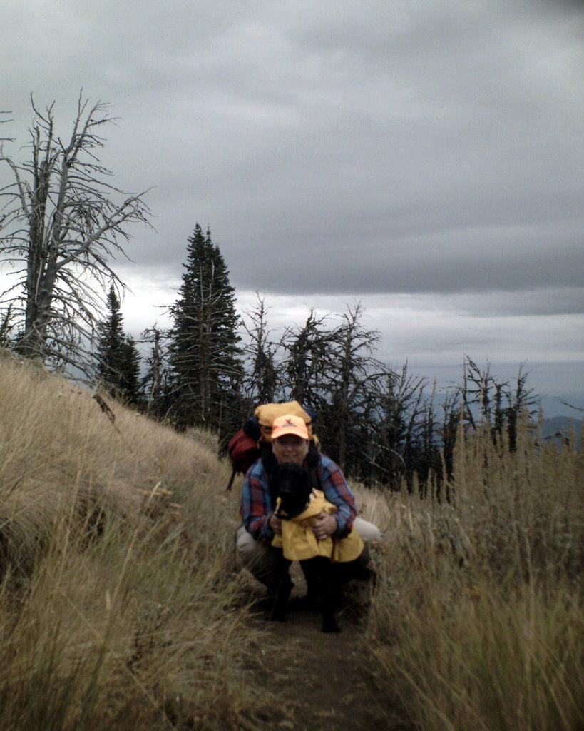
 School starts tomorrow and though I am glad, I am also a bit sad that summer is coming to an end. I really am a summer kind of girl, but I am planning on hiking as long as I can. It is now hunting season so we wore our orange. Well, sort of. I wore my orange hat and gave Georgie my vest, then tied Walter's vest to the front of me and had him wear his yellow raincoat, which he needed anyway. We did not see or hear any hunters there but on the way out we passed a guy in a truck who was all dressed in camo. I suppose that once the snow falls I will be digging out my snow shoes. After all, that is hiking too!
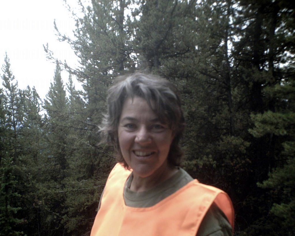
Pictures from the top down: Me and Walter; Georgie sporting her orange vest; a little Poodle-Woman-Love; looking towards Sherman Peak; Georgie filling out the log at the cairn; a view from the top.
posted by Kathy at
12:43 PM
1 Comments
![]()


